LARGE VOLUME 3D SCANNING
In 2014 AJSNY began using aerial photogrammetry to speed construction of context models. Combining low-altitude aerial and standard street-level photography yields dimensionally accurate, medium-detail geometry for large areas much more quickly than manual modeling.
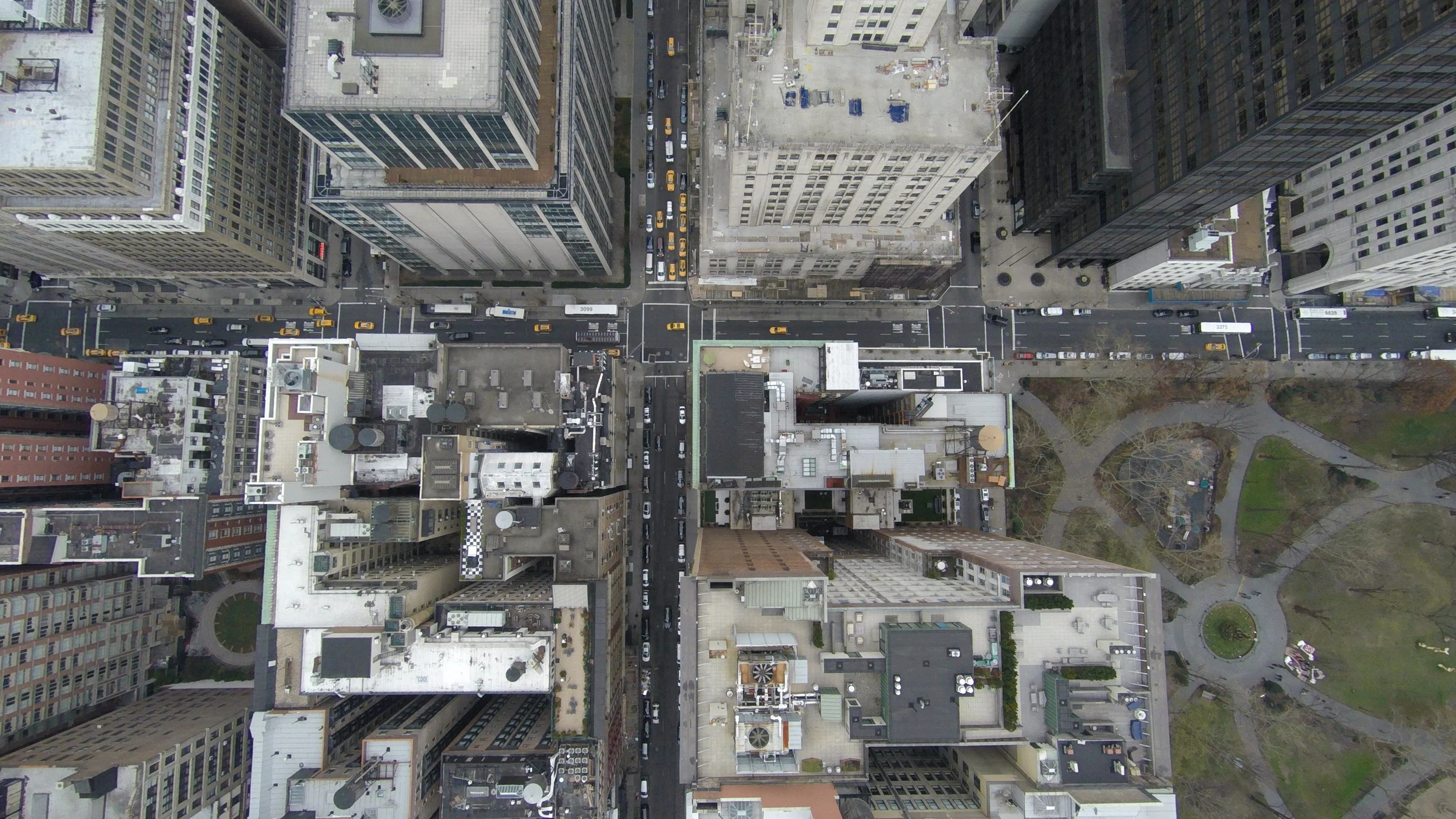
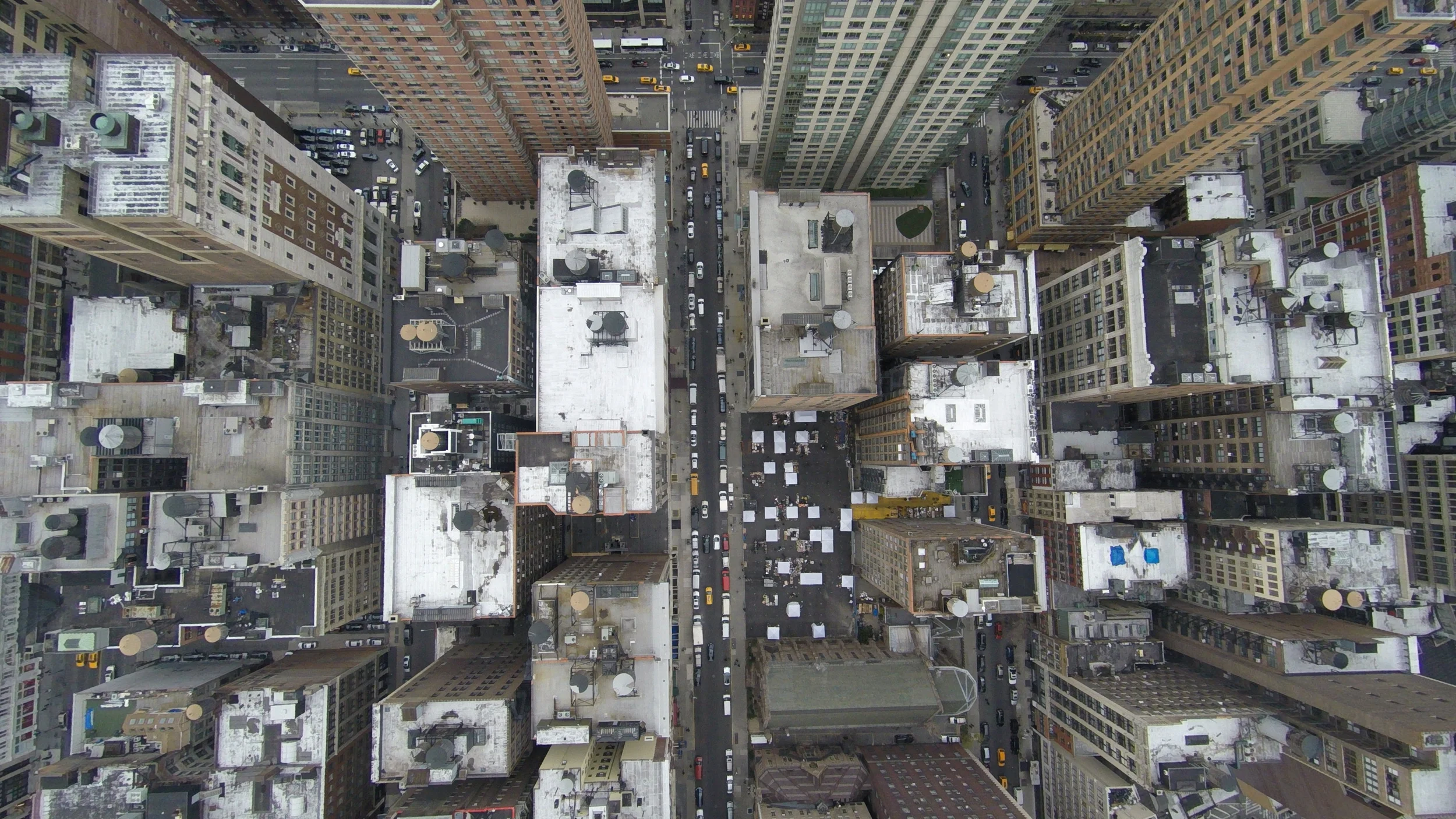
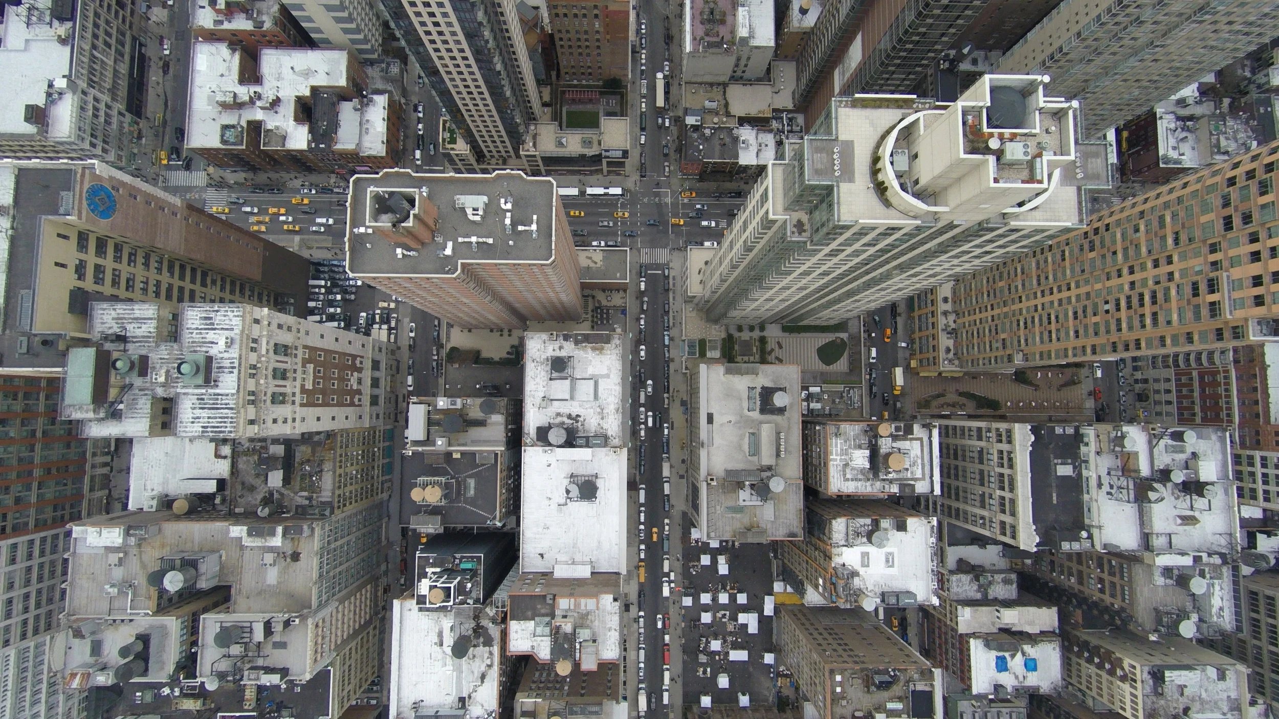
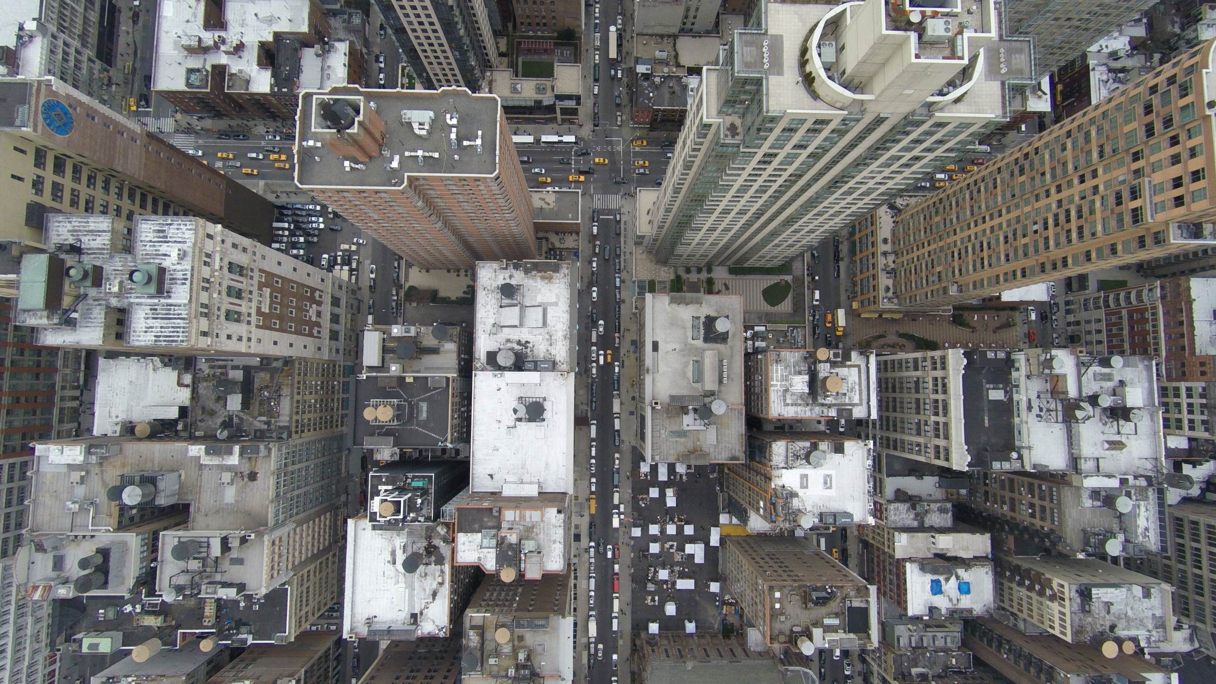
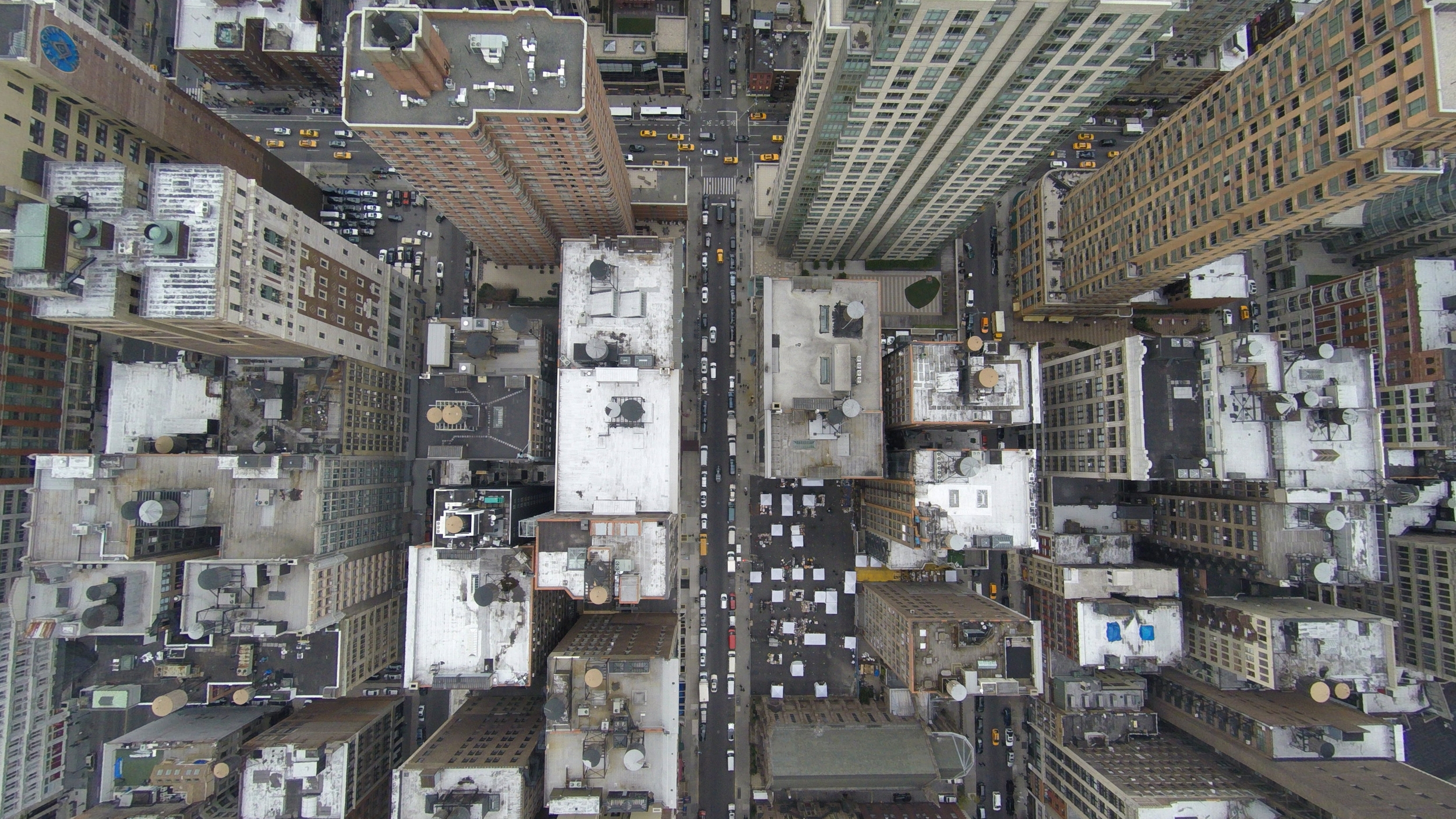
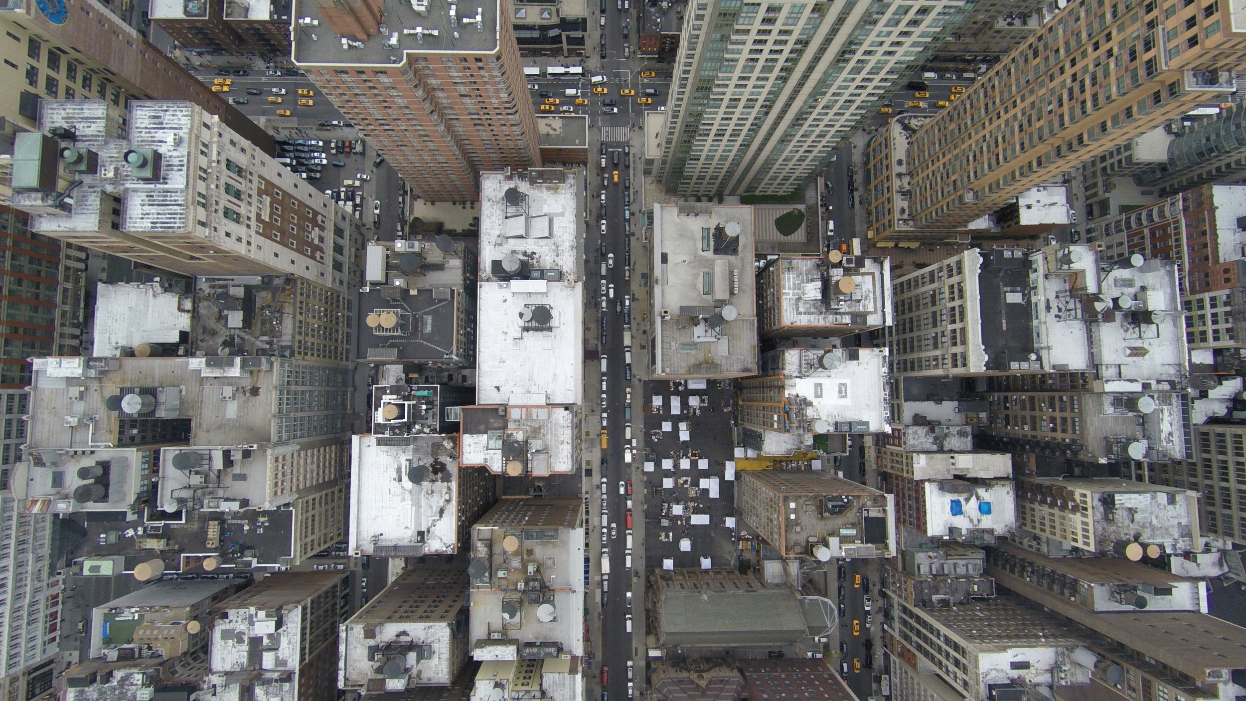
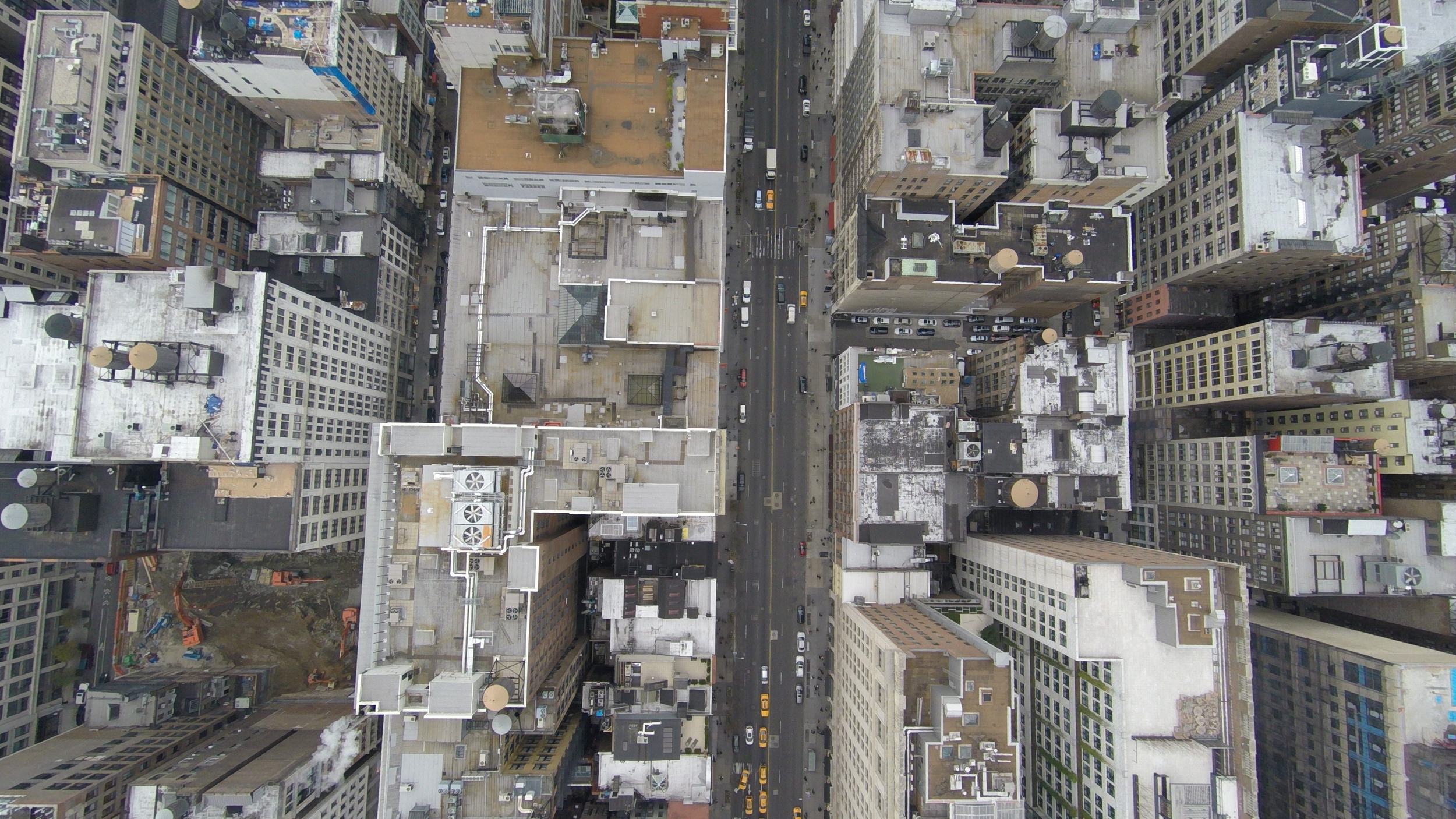
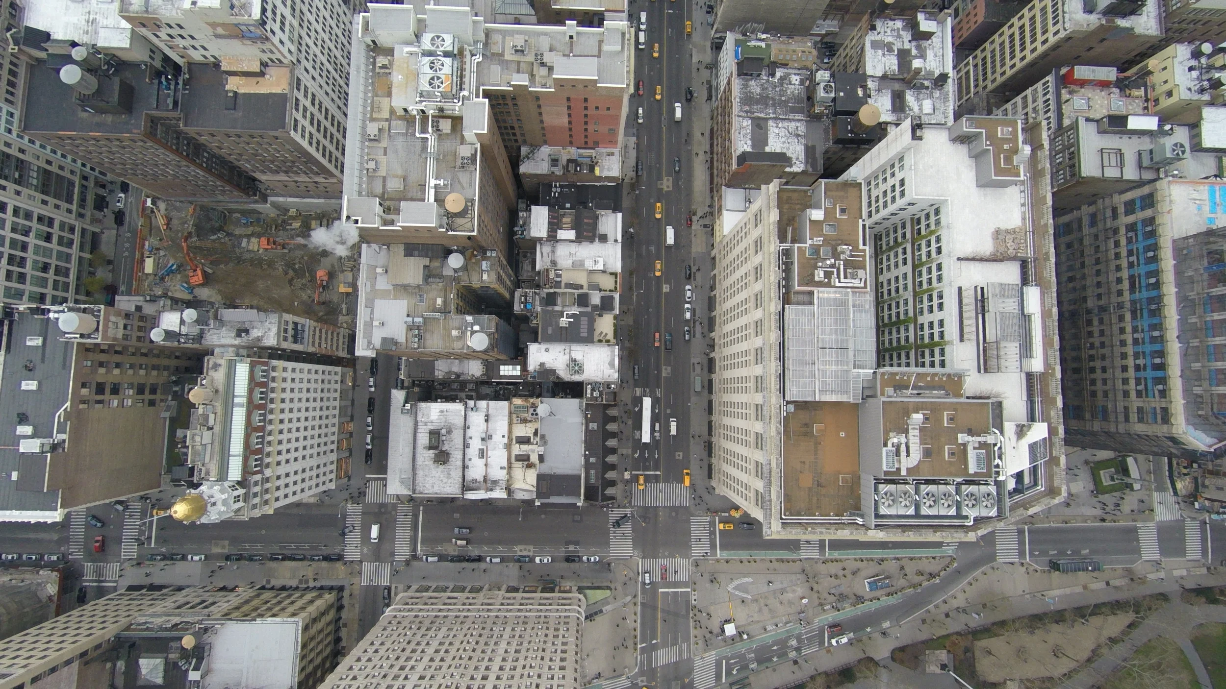
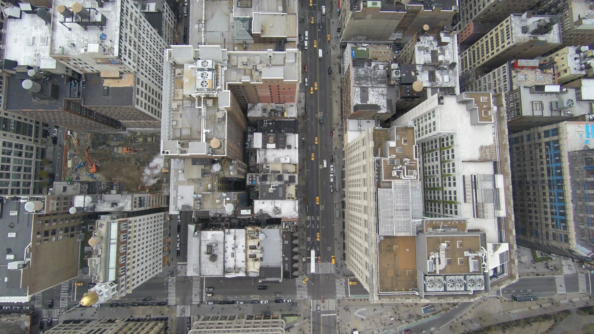
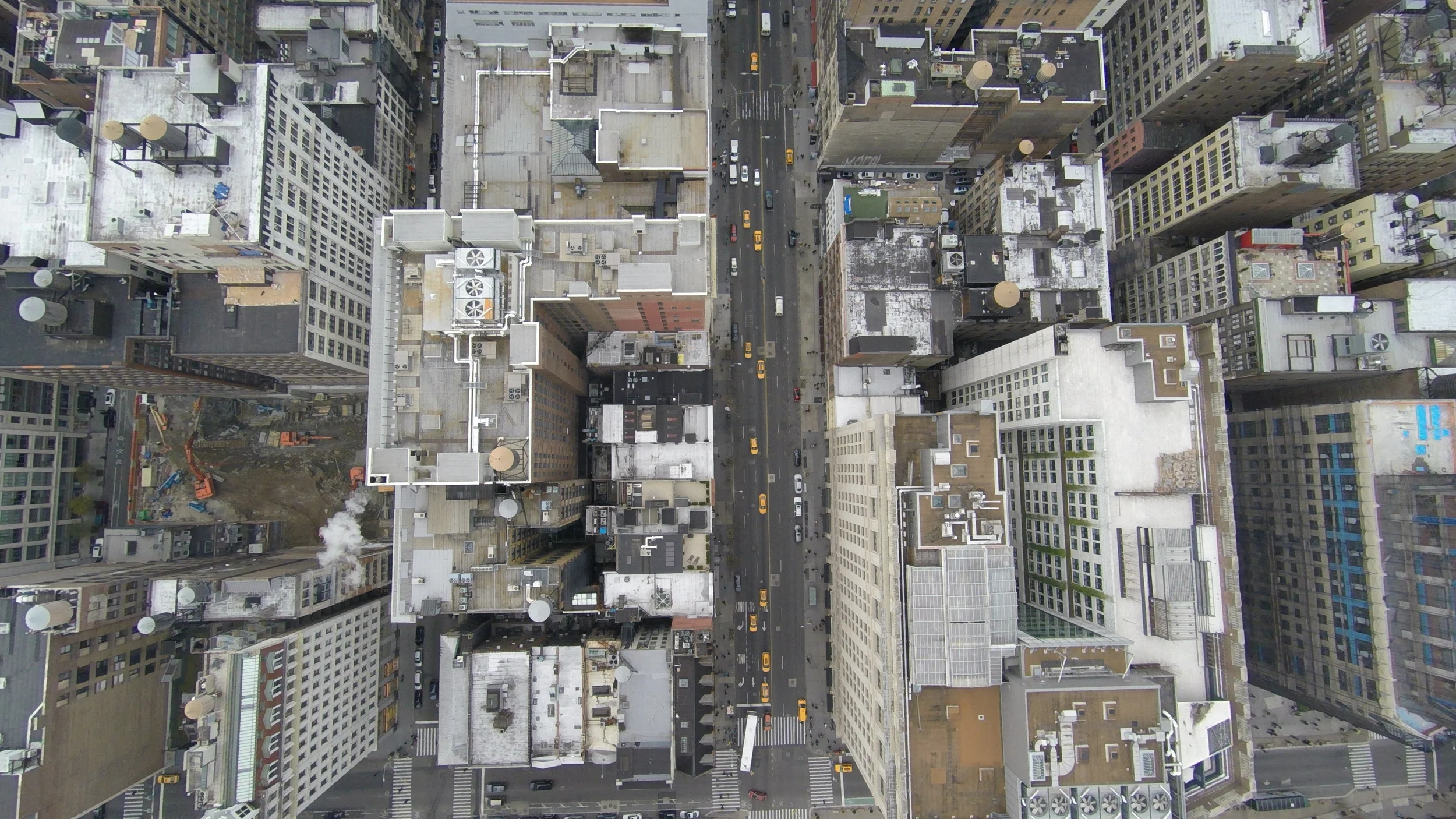
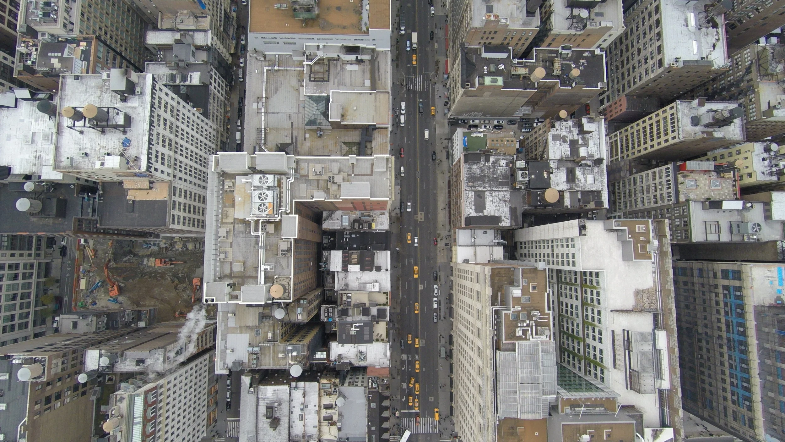
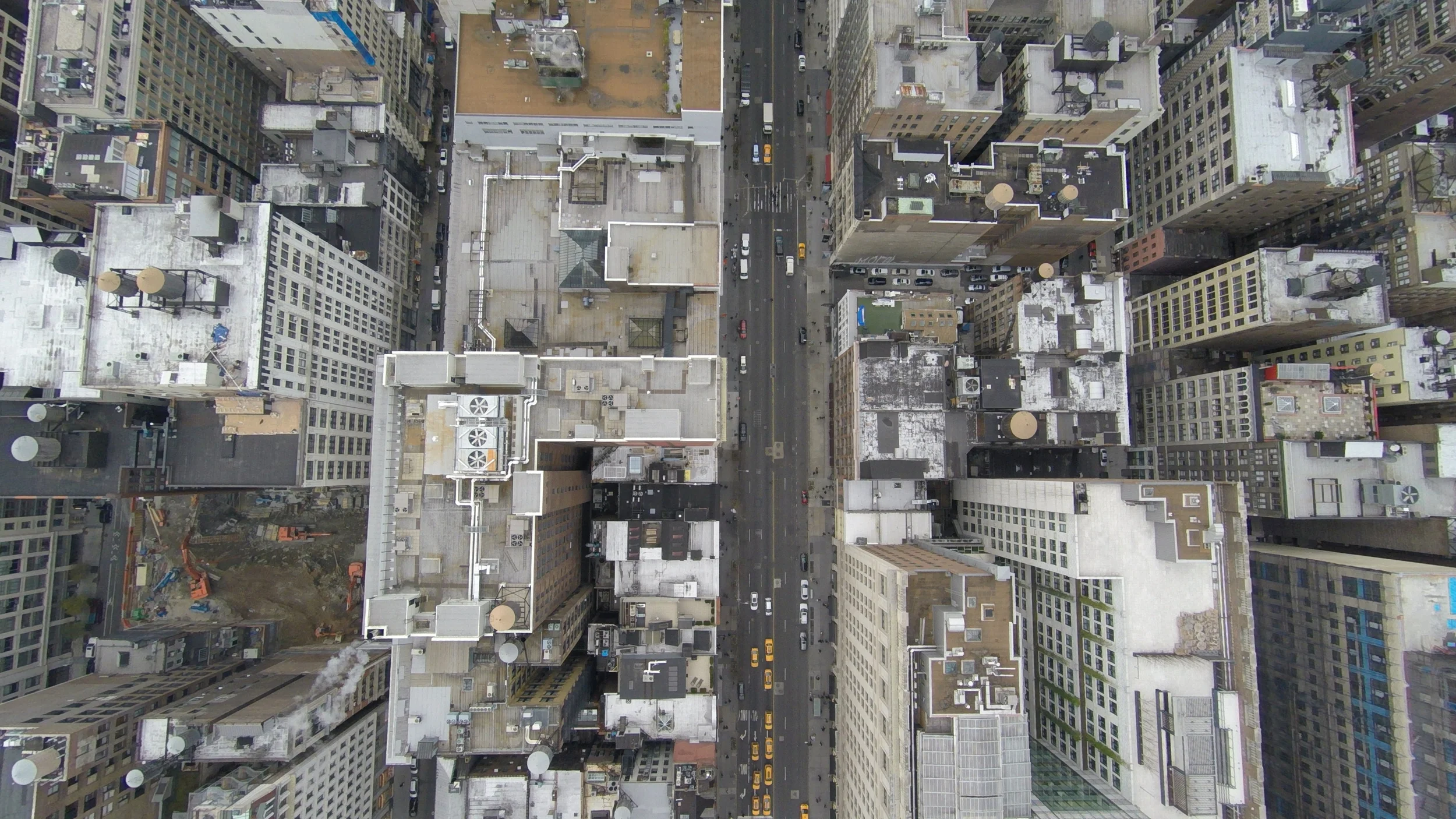
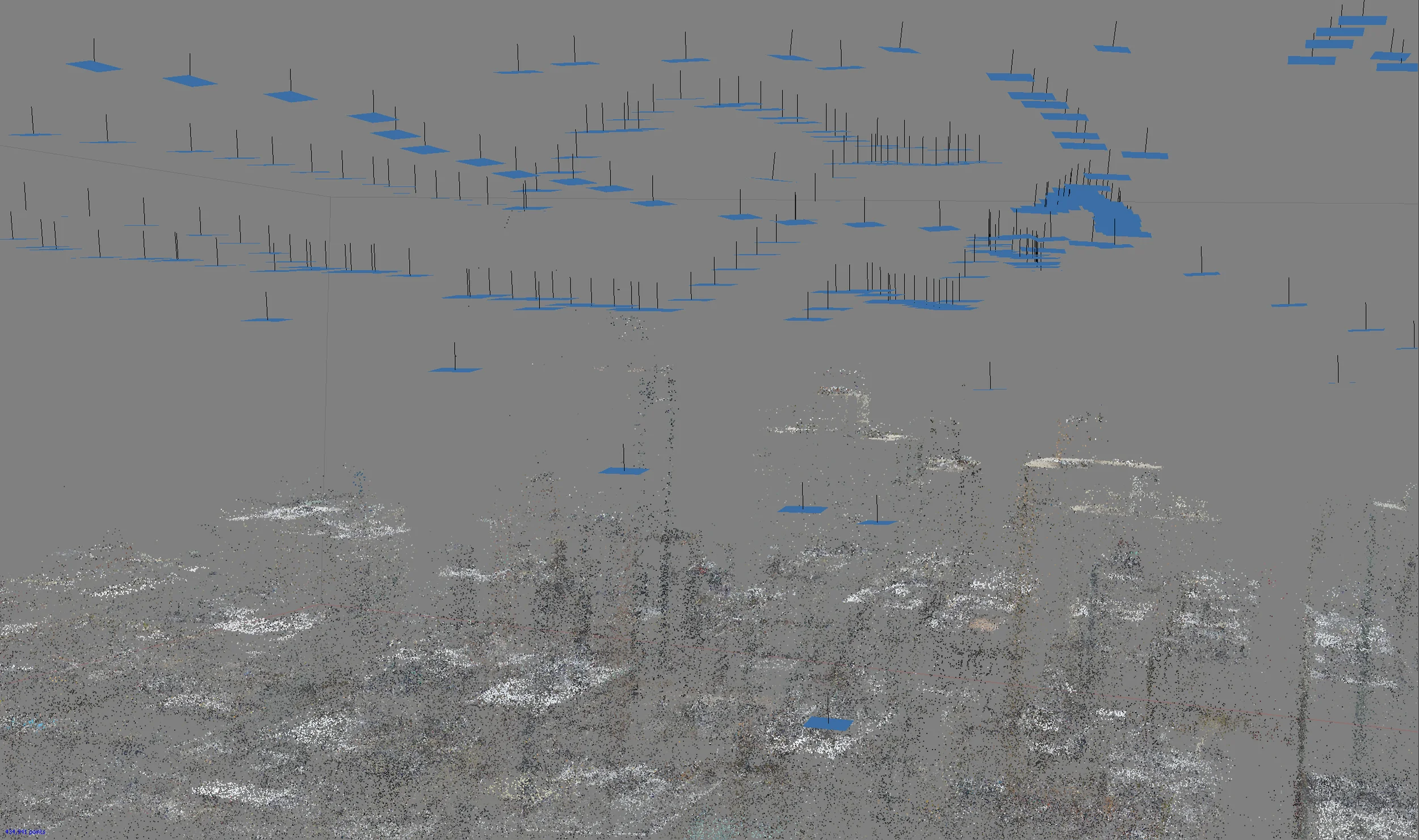
We begin by shooting top-down photos at approximately 60' intervals from altitudes as low as 200'. Overcast lighting conditions are ideal so that our final model will be a neutral base to receive shadows cast by lighting in our CG environment:
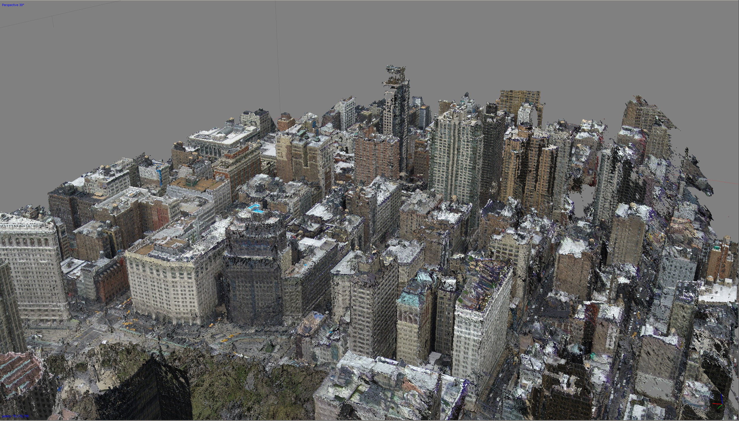
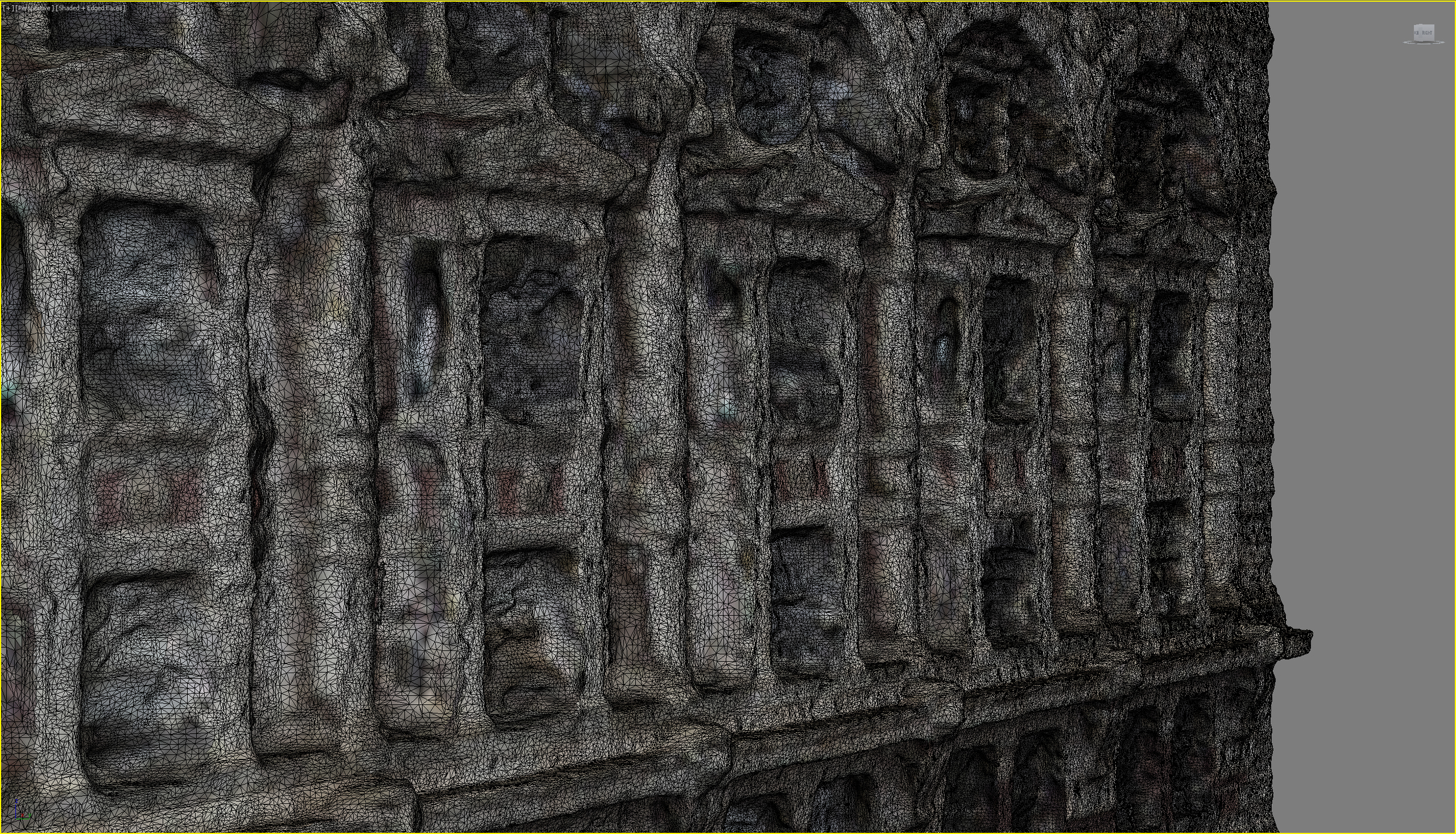
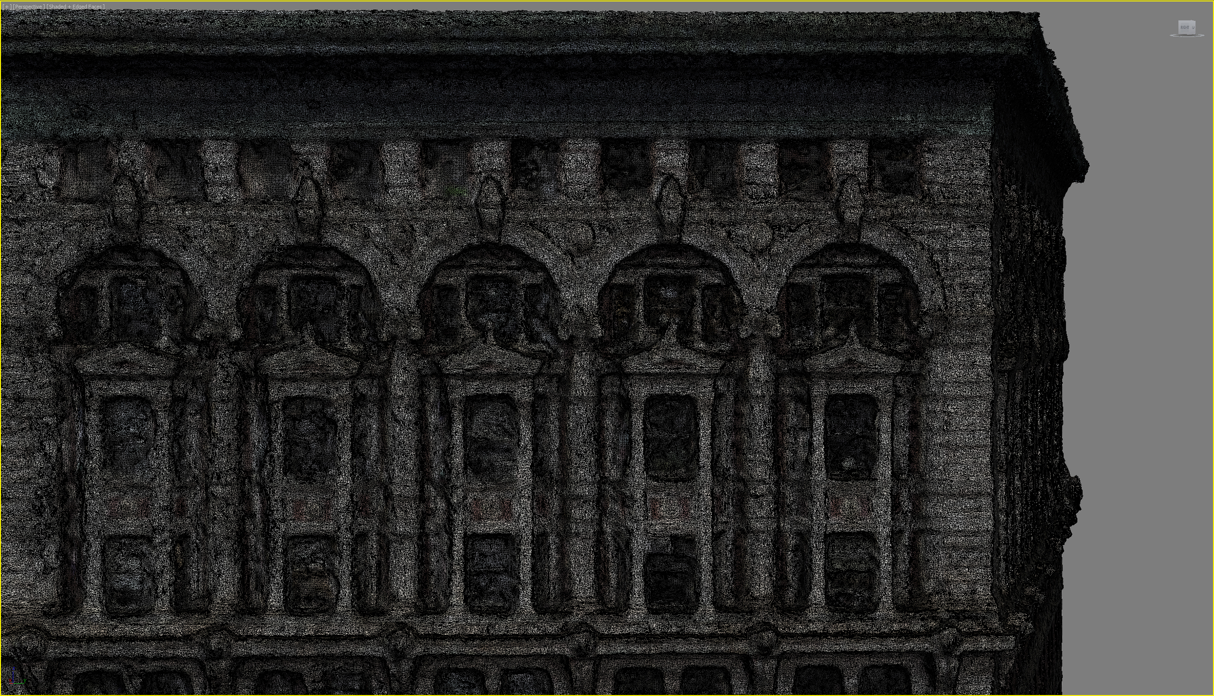
Extraction of spatial data from the approximately 600 photographs needed to adequately cover a typical scanning volume of around 1000 cubic meters can be completed in around 8 hours using a cluster of between 60 to 80 CPUs. A polygonal mesh can be generated from the resulting point cloud in less than 2 hours:
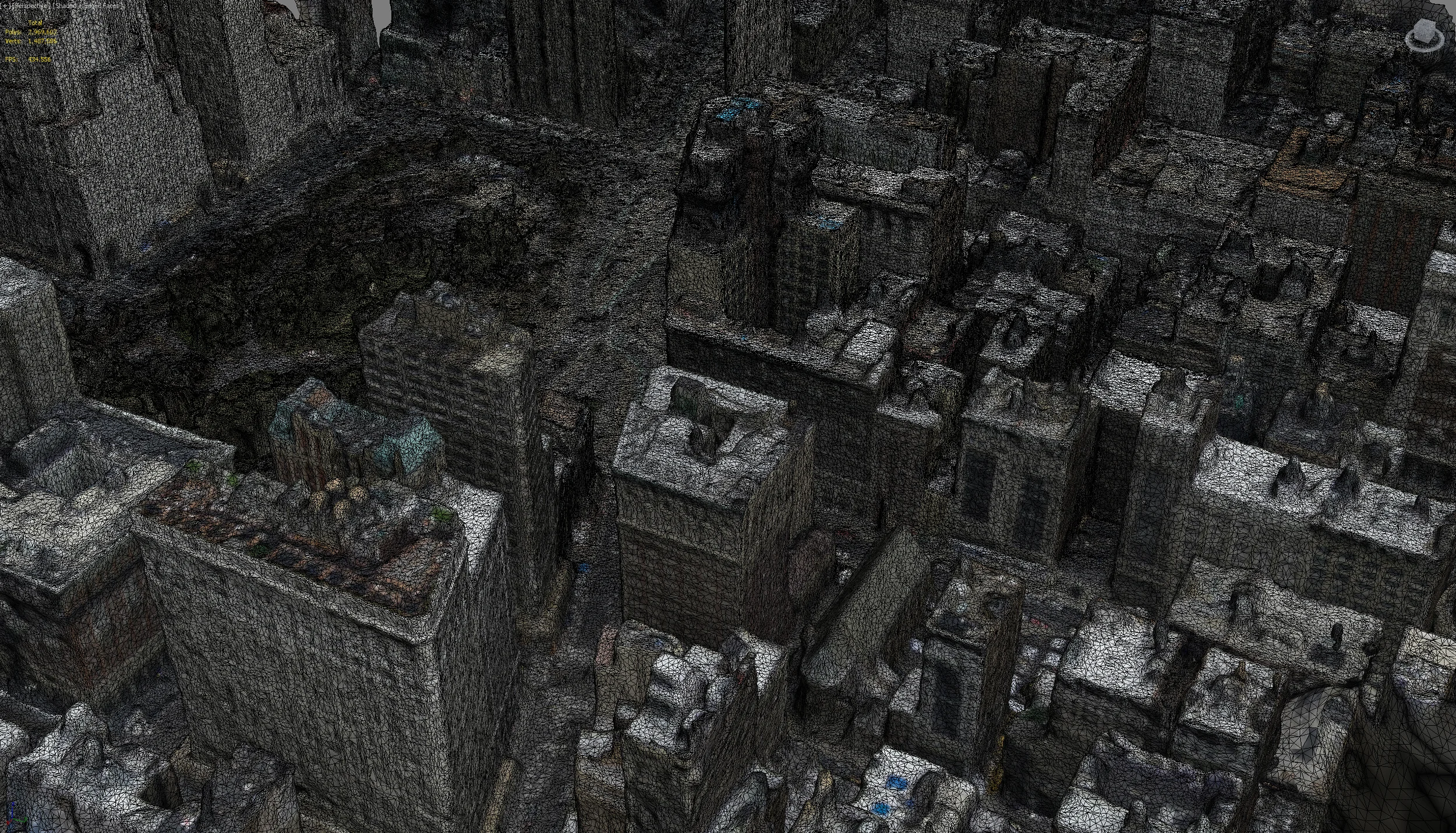
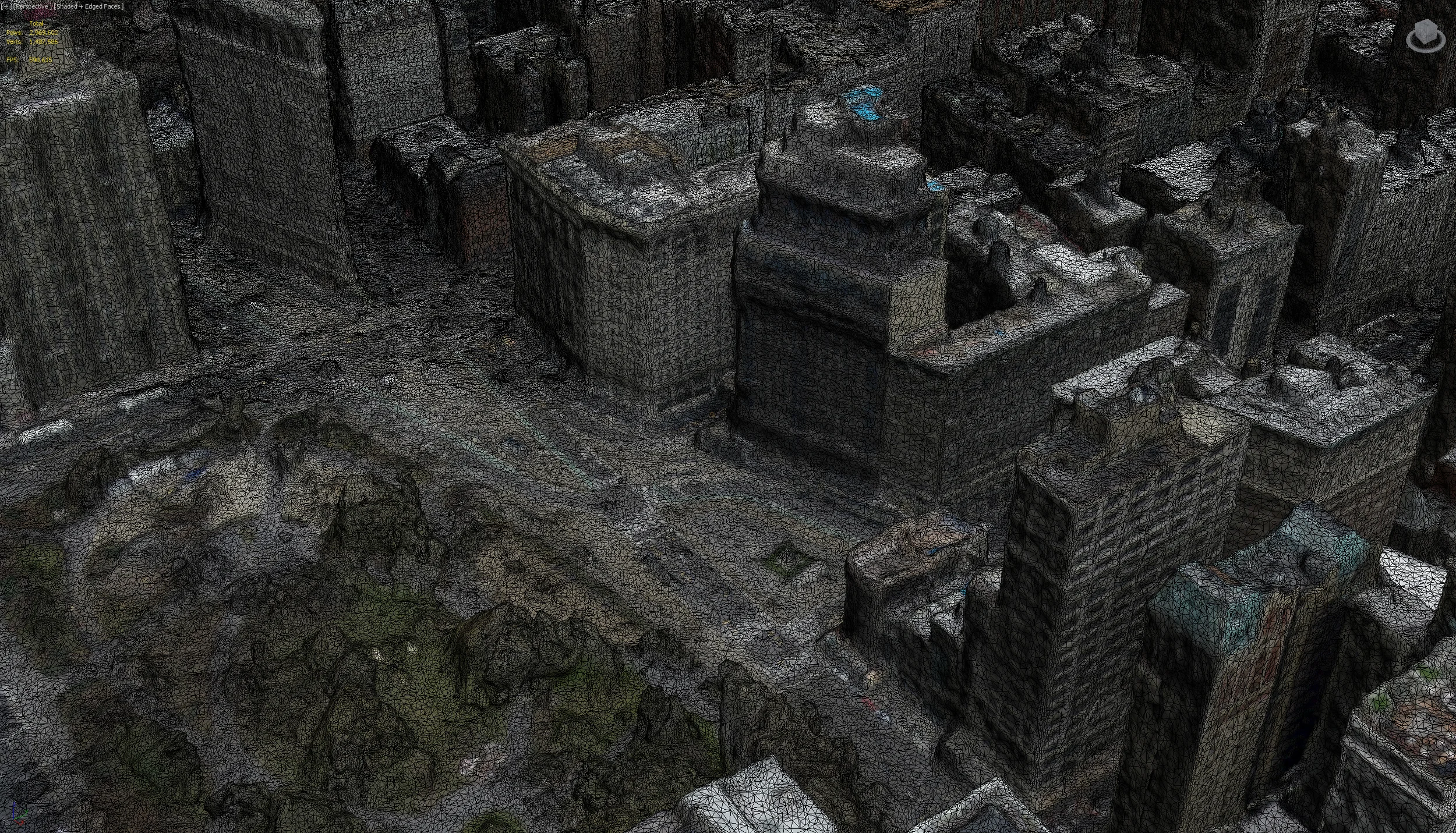
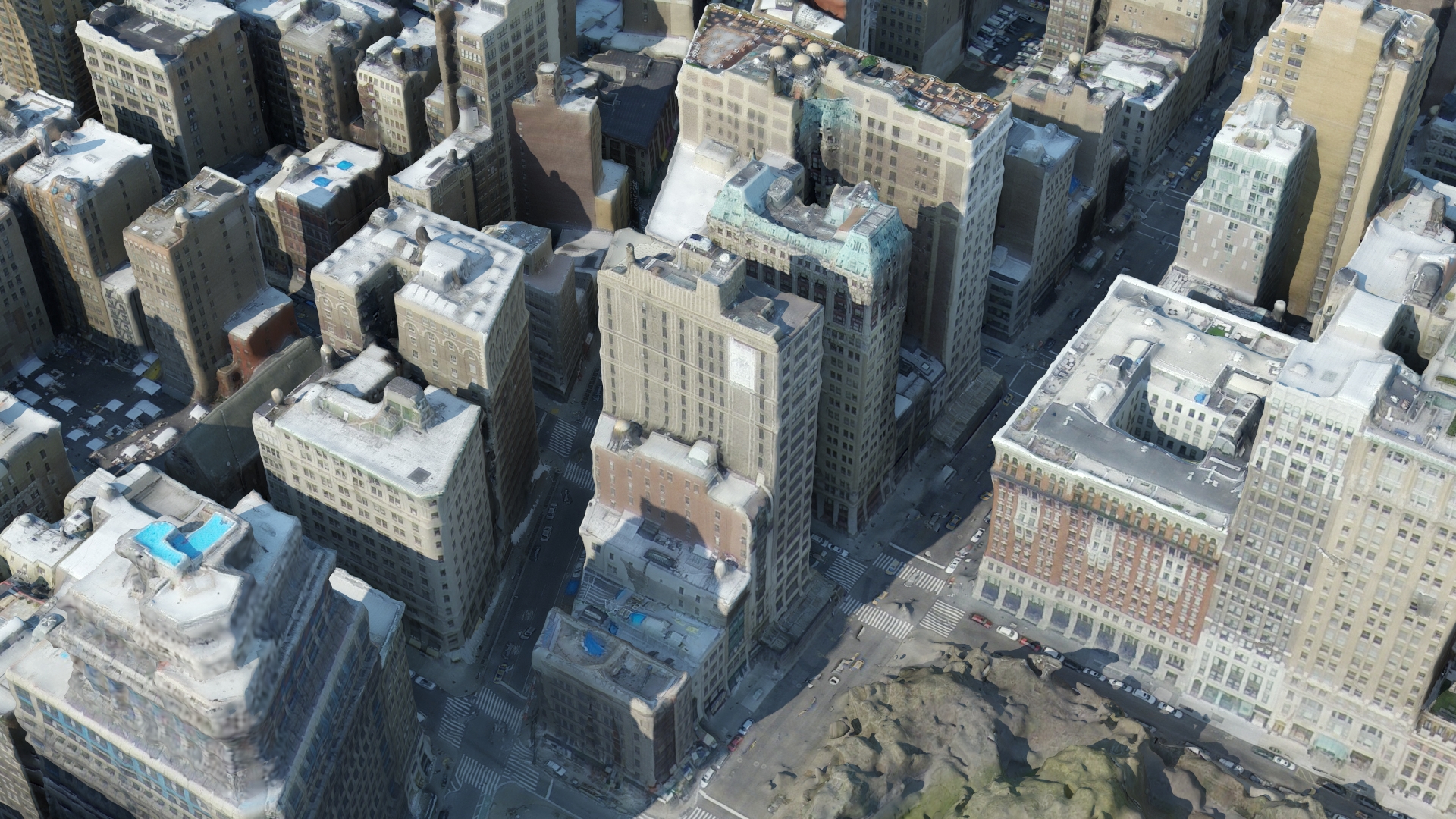
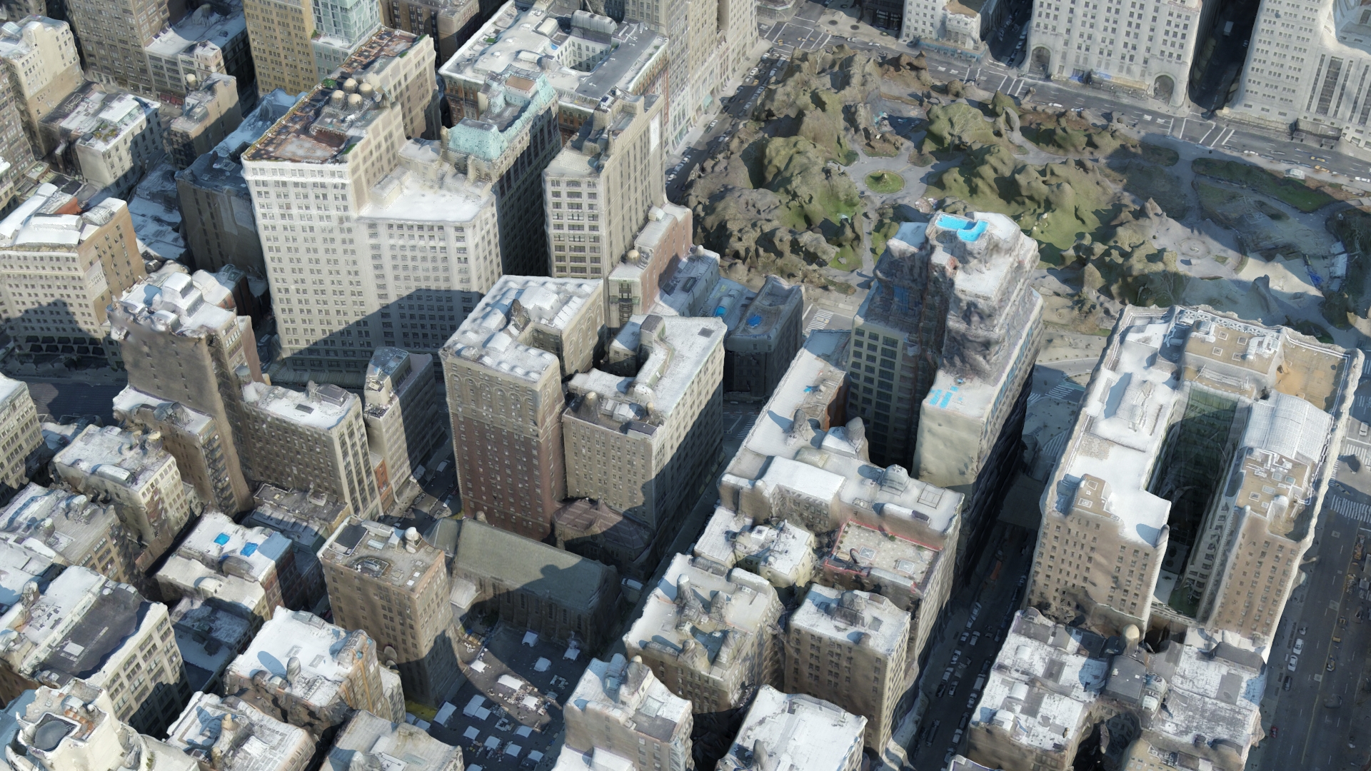
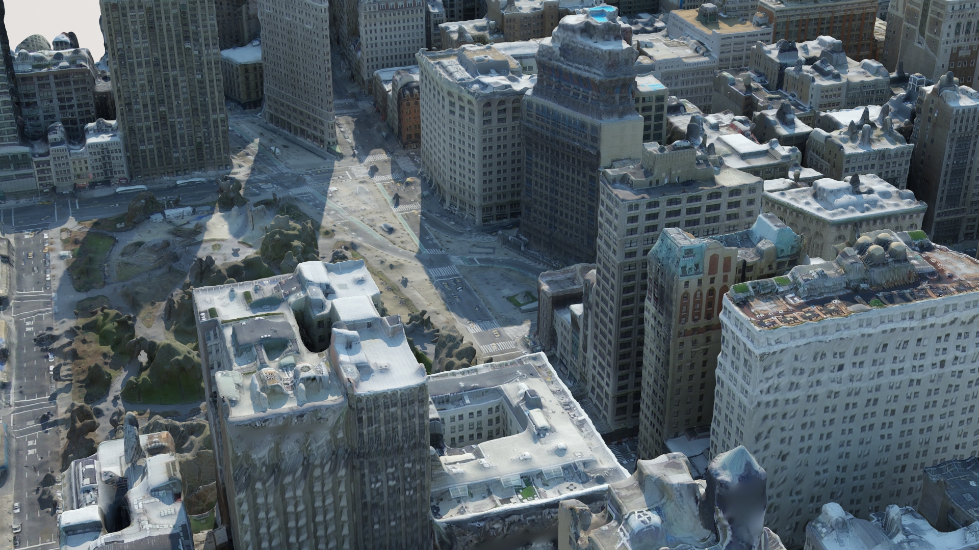
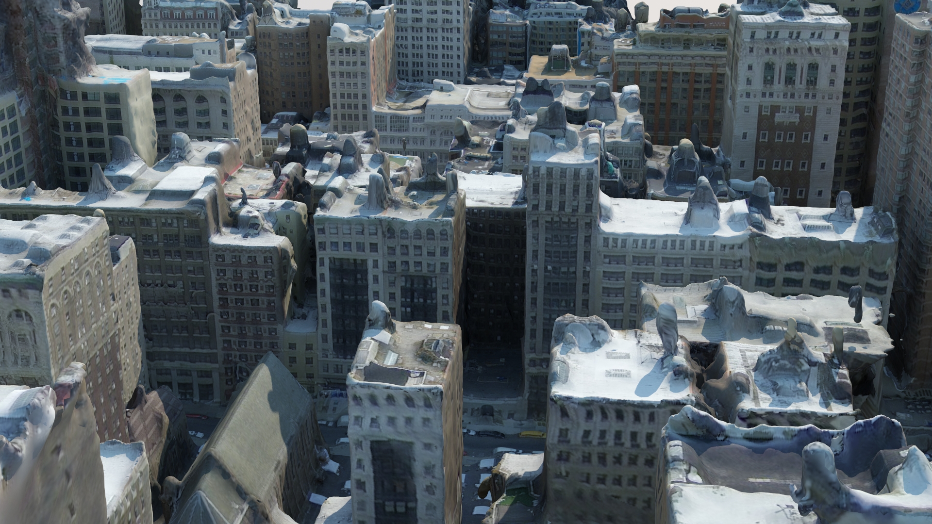
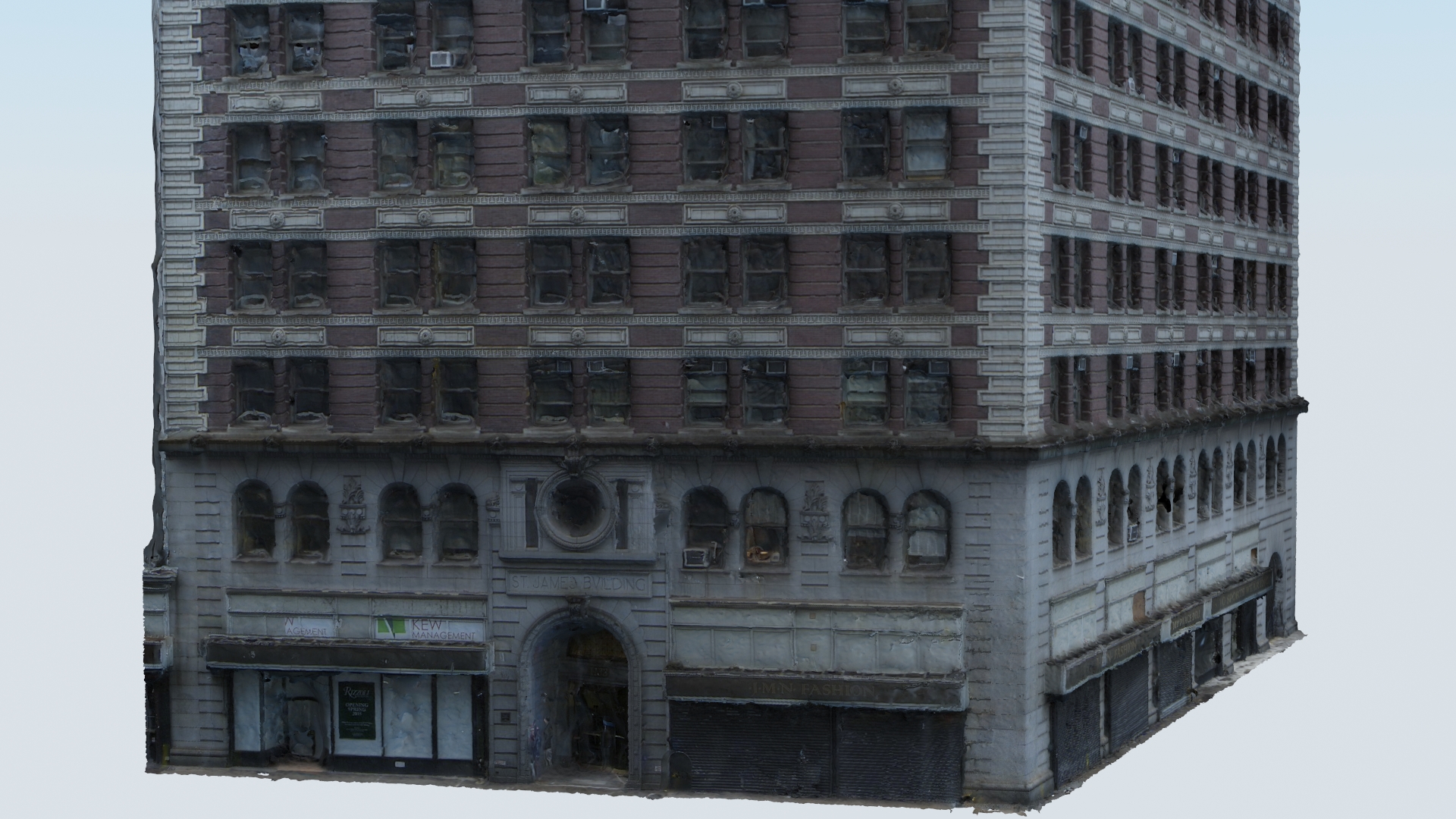
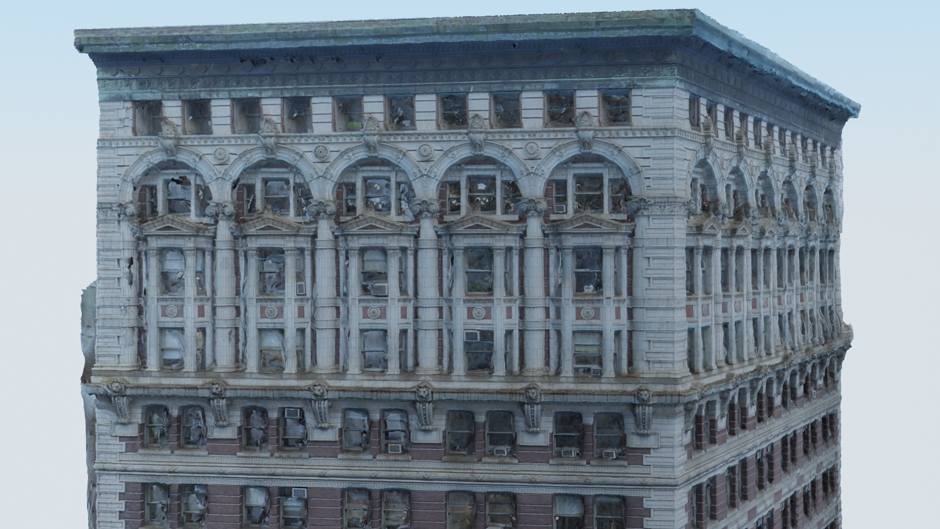
This mesh needs some manual clean-up, but the amount of work required is minimal when compared to modeling everything by hand. A skilled, experienced artist can clean up meshes like the examples shown below in a few hours:
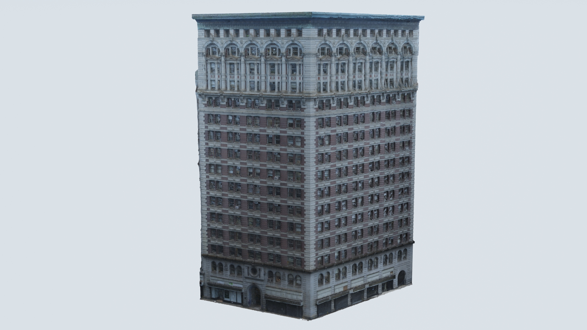
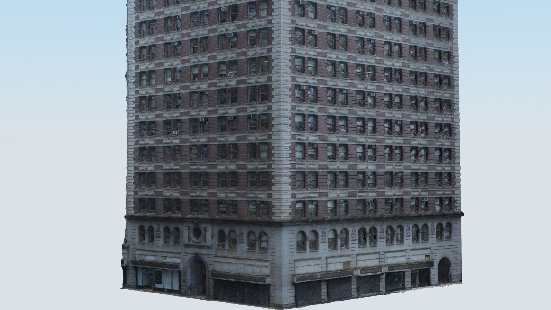
The final result is fully texture-mapped geometry detailed enough for mid-ground use, shadow casting and reflections -- in a fraction of the time previously required. When a higher level of detail is required, these models can also accelerate manual modeling by providing a dimensionally accurate framework and texture reference:

